Swiss Army Knife of Weather Satellites
Spotting volcanic eruptions, monitoring the health of crops, pinpointing distress signals for search and rescue teams.
It’s not what you might expect from a weather satellite. But these are just a few of the abilities of NOAA’s newest polar-orbiting weather satellite, launched by NASA on February 6 and turned over to NOAA for full-time operations on February 26.
Formerly called NOAA-N Prime and now renamed NOAA-19, it is the last in its line of weather satellites that stretches back almost 50 years to the dawn of the Space Age. Over the decades, the abilities of these Television Infrared Observation Satellites (TIROS) have gradually improved and expanded, starting from the grainy, black-and-white images of Earth’s cloud cover taken by TIROS-1 and culminating in NOAA-19’s amazing array of capabilities.
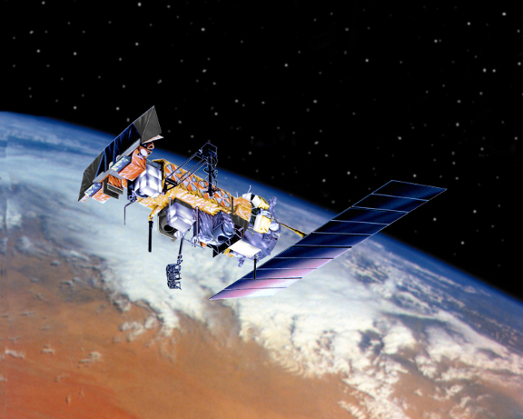
The new NOAA-19 is the last and most capable in the long line of Television Infrared Observation Satellites (TIROS).
“This TIROS series has become quite the Swiss army knife of weather satellites, and NOAA-19 is the most capable one yet,” says Tom Wrublewski, NOAA-19 Satellite Acquisition Manager at NASA’s Goddard Space Flight Center in Greenbelt, Maryland.
The evolution of TIROS began in 1998 with NOAA-K. The satellites have carried microwave sensors that can measure temperature variations as small as 1 degree Celsius between Earth’s surface and an altitude of 40 kilometers—even through clouds. Other missions have added the ability to track large icebergs for cargo ships, monitor sea surface temperatures to aid climate change research, measure the amount of ozone in Earth’s protective ozone layer, and even detect hazardous particles from solar flares that can affect communications and endanger satellites, astronauts in orbit, and city power grids.
NOAA-19 marks the end of the TIROS line, and for the next four years it will bridge the gap to a new series of satellites called the National Polar-orbiting Operational Environmental Satellite System. NPOESS will merge civilian and military weather satellites into a single system. Like NOAA-19, NPOESS satellites will orbit Earth from pole to pole, circling the planet roughly every 100 minutes and observing every location at least twice each day.
NPOESS will have yet more capabilities drawn from its military heritage. Dim-light sensors will improve observations of the Earth at night, and the satellites will better monitor winds over the ocean — important information for ships at sea and for weather and climate models.
“A lot more capability is going to come out of NPOESS, improving upon the 161 various environmental data products we already produce today,” Wrublewski says.
Not even a Swiss army knife can do that many things, he points out.
For more on the NPOESS, check out http://www.npoess.noaa.gov. Kids can find out about another NOAA satellite capability—tracking endangered migrating species—and play a fun memory game at http://spaceplace.nasa.gov/en/kids/poes_tracking.
This article was provided by the Jet Propulsion Laboratory, California Institute of Technology, under a contract with the National Aeronautics and Space Administration.